Scenic Vermont Photography/ Vermont Photography. Scenic landscape photography of Vermont.

More results...

Generic selectors
Exact matches only
Search in title
Search in content
Post Type Selectors
post
page
ngg_pictures

Vermont History

Saint Anne’s Shrine Isle La Motte, Vermont

Saint-Annes-Shrine-Isle-La-Motte-9-30-2024-4

In 1666, Fort Sainte Anne was built on Isle La Motte to protect Montreal from attacks by the Iroquois Indians. Both the fort and chapel were dedicated to Saint Anne, the mother of the Virgin Mary. It was the site of the first Catholic Mass celebrated in Vermont. In 1668, the bishop of Quebec, François de Laval, came to Isle La Motte to baptize a number of Iroquois to Christianity. Even after the abandonment of the fort, the shrine continued to offer mass to worshipers. The Fort was destroyed sometime between 1670 and 1690; the Way of Calvary at the Shrine marks the place where the Fort once stood.

In 1892, Louis de Goesbriand, the Bishop of Burlington was able to purchase the land at Fort Saint Anne in order to preserve its history. A small chapel was built. Father Joseph Kerlidou was the first director of St. Anne’s Shrine. He excavated a portion of the site, uncovering knives, buttons, pottery, and other artifacts. They attest to not only French, but earlier Native American presence on the site. Some of the artifacts are on display at St. Anne’s.
Saint Anne’s Shrine Isle La Motte, Vermont Read More »

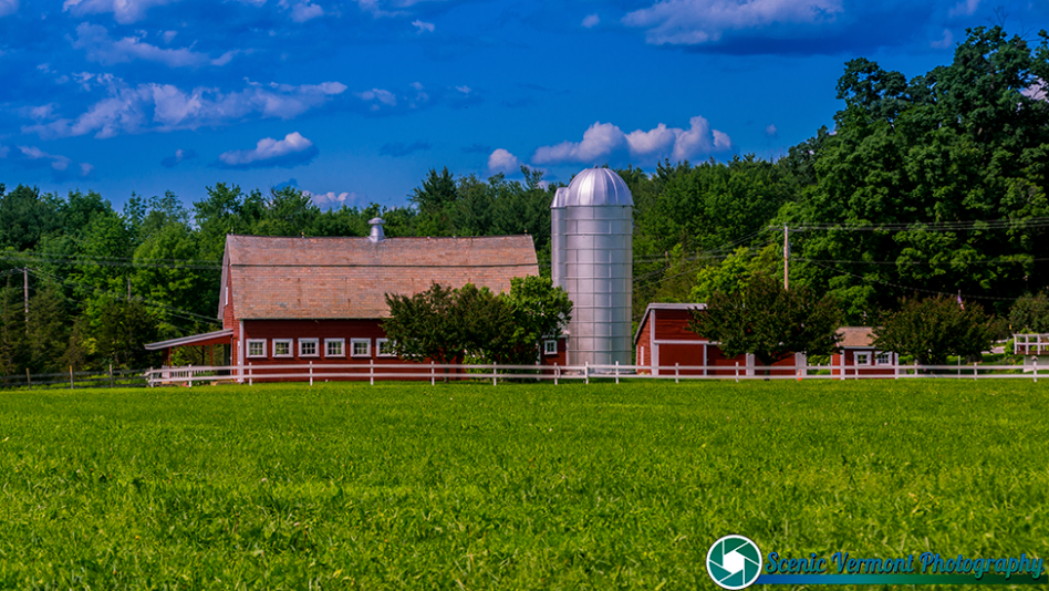
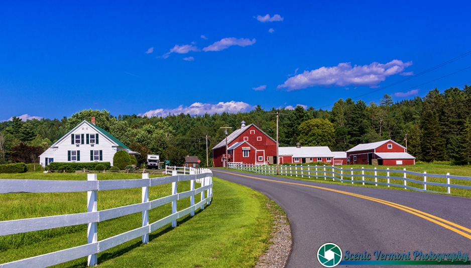
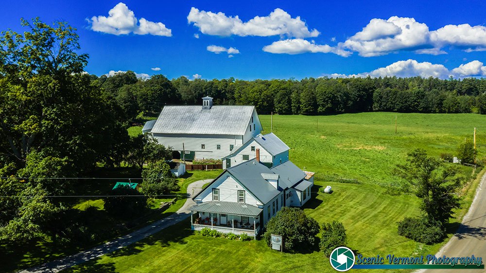
A nice day in East Montpelier Vermont

Montpelier-Vermont-8-23-2023-33
History of this farm-
The original members of our family came to America on the Mayflower in 1620. The family were one of the 3 founding families in the town of East Montpelier moving from Peterboro, New Hampshire in 1788. The farm as it is known today was settled in 1810 and is 150 acres in size. To put that date into perspective, Thomas Jefferson was serving as our President during that period of time. In 2010 the farm became a bicentennial farm which has been in continuous family ownership for 200 years. For 9 generations the farm has been producing bountiful forage, grain, apple, maple and timber crops along with dairy, beef and sheep.

A nice day in East Montpelier Vermont Read More »

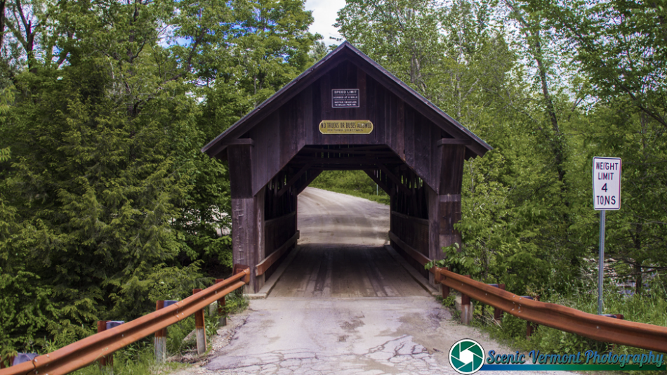
Scribner Covered Bridge in Johnson Vermont

Scribner Covered Bridge 80
The Scribner Covered Bridge stands in a rural area of eastern Johnson, carrying Rocky Road across the Gihon River between Vermont Route 100C and Sinclair Road. It is a single-span queen post truss, 48 feet (15 m) long and 17.5 feet (5.3 m) wide, with a roadway width of 13.5 feet (4.1 m) (one lane). It is covered by a gabled metal roof, and its exterior is clad in vertical board siding, which extends around to the insides of the portals. On the sides, the siding ends short of the roof, leaving an open strip. The bridge rests on concrete abutments that date to 1960. The trusses are unusually short and lack internal bracing, and their corner joints have been reinforced with metal plates.

Scribner Covered Bridge in Johnson Vermont Read More »